Spatial Sustainability.
EnDev is on the cutting edge of geospatial resilience, showcasing our newest approach to integrating the ‘3-30-300 rule’. For more information see our explainer.
EnDev specializes in translating spatial data into useful information for decision making. Working across local governments, to industry specialty groups, and international NGOs, EnDev engages internal and external data sources to develop in-depth geospatial analyses and web applications to help understand your challenge, and prioritize where to focus your efforts.
Working across local, national, and international scales, EnDev provides innovative spatial insight into the world's most pressing challenges, assessing where changes (Climate, Land-Use, Infrastructure, etc.) are likely to have their greatest impacts, who is going to be disproportionately affected, and how we can build projects and programs to achieve equitable, sustainable development.
EnDev has partnered with over 25 International NGOs and associated organizations in delivering major projects across South-East and Central Asia, Australia, and the United States. Together, we've shaped effective programs to improve people's lives by enhancing Disaster Risk Reduction and Management, Climate Change Adaptation, and Sustainable Urban and Rural Development.

The intersection of environment and development.

Informed development decisions.
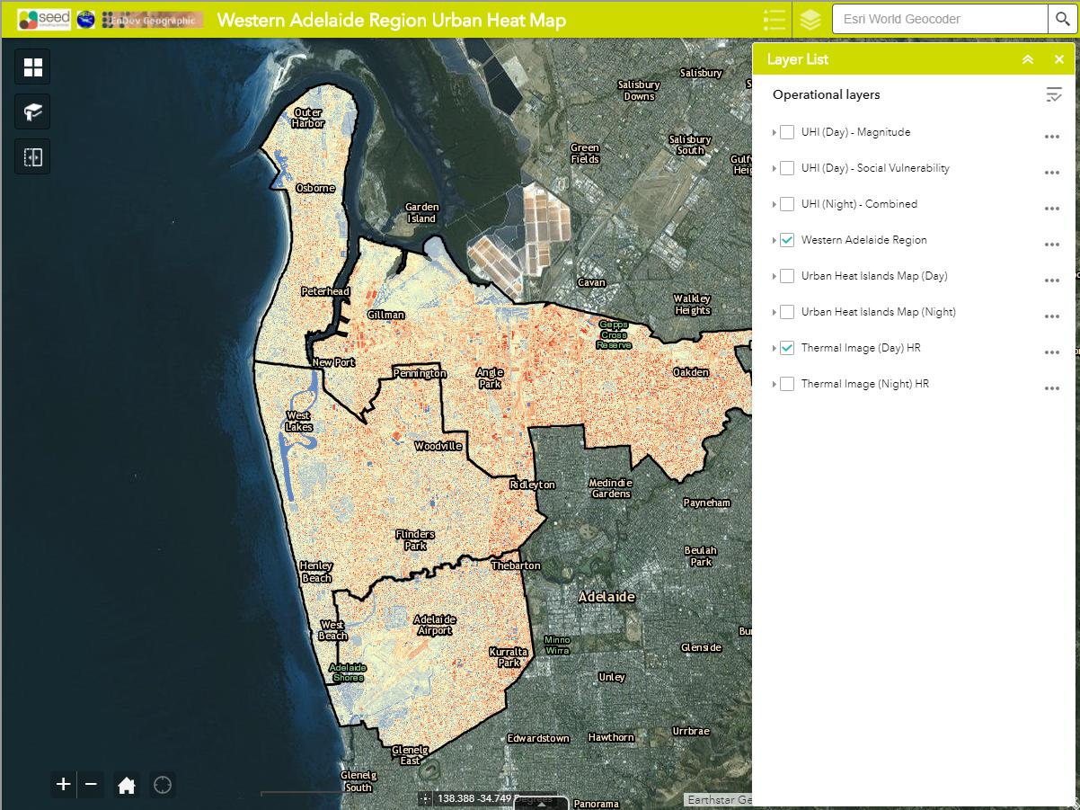
Smart development begins with location analysis.